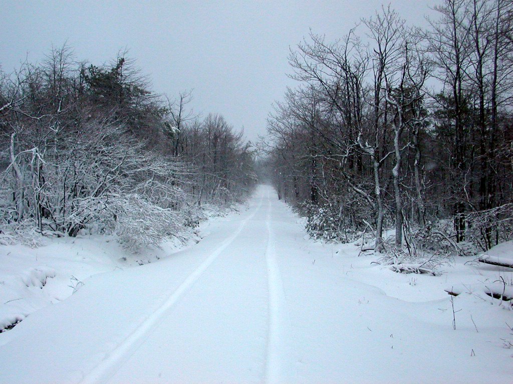
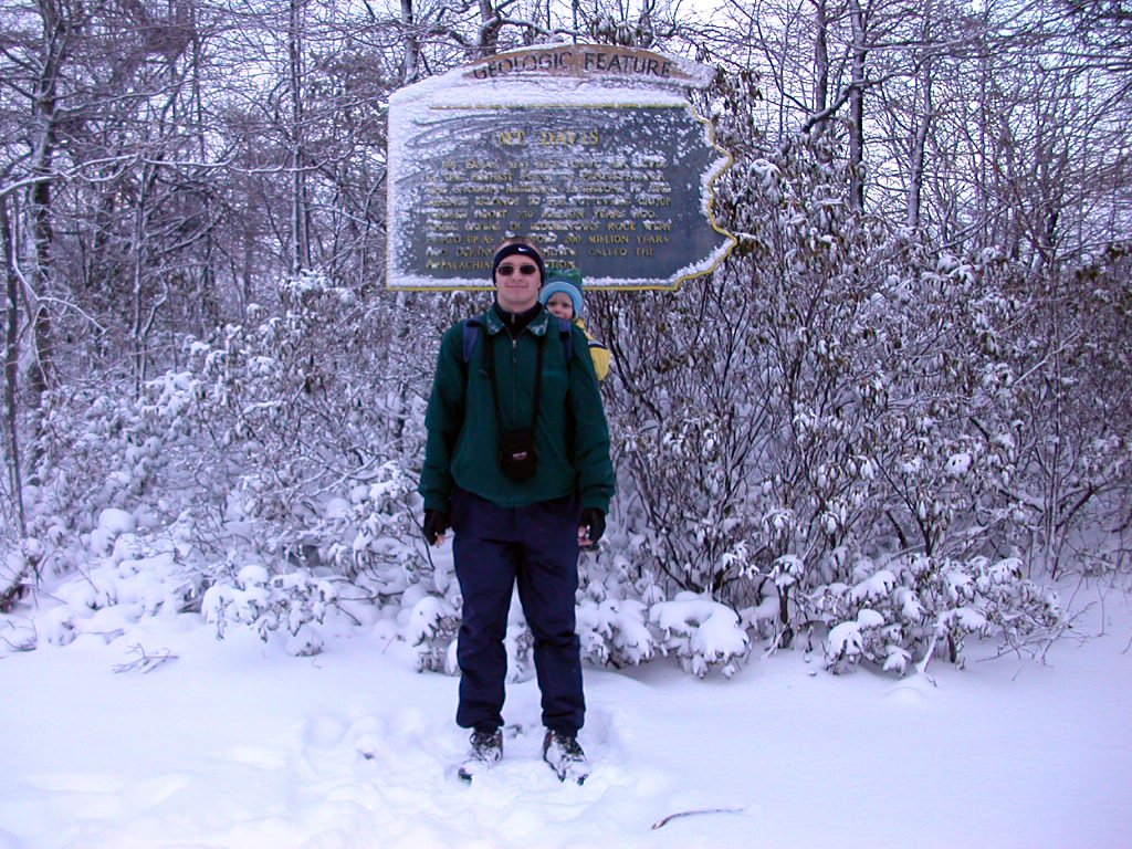
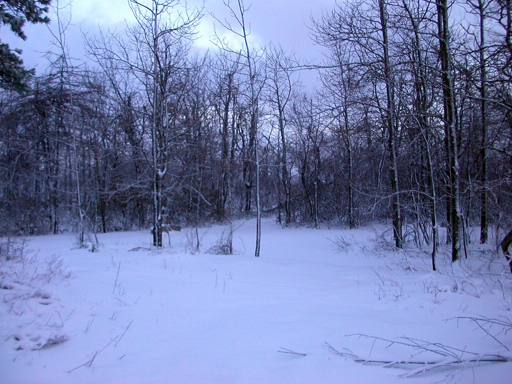
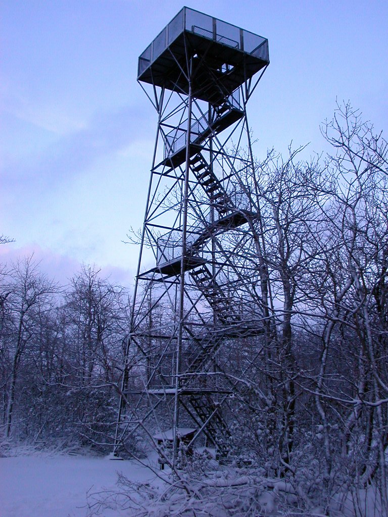
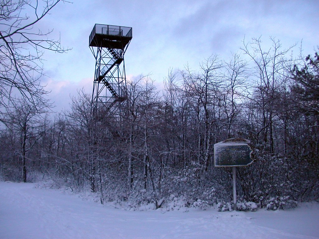
We visited Mount Davis on March 8th, 2004. We started out in Richmond, IN in the morning and it was snowing all the way more or less. As you can see, it was pretty snowy in Pennsylvania. Normally you should be able to drive up to the peak, but now we had to take 5 mile roundtrip walk from SR-2002 (see map for our route). Hiking through the snow in fairly little light (because of overcast sky and late hour) made this a quite unique experience.
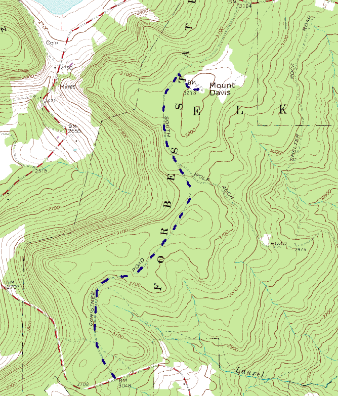 Click on the map to enlarge.
Here are the instructions:
1. From I-68 East take Maryland exit 19 onto SR-495 to Grantsville.
2. Go 0.5 miles and turn left onto W Main St
3. Go 0.3 miles and turn right onto Springs Rd
4. Go 2.1 miles and bear left onto Upper Springs Road
5. Go 1.2 miles and turn left onto SR-2002
6. Go 2.6 miles and turn right onto Christner Rd
7. After 1.7 miles bear left onto S Wolf Rock Rd
8. Go 0.8 miles and there you are.