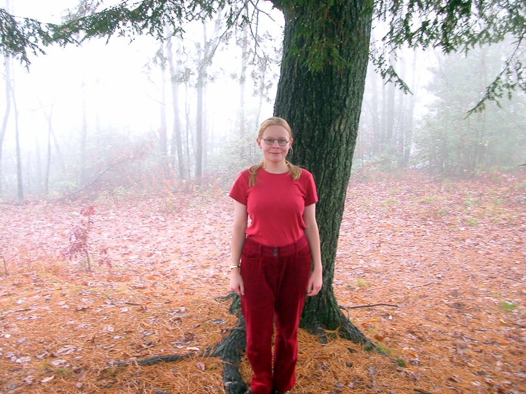
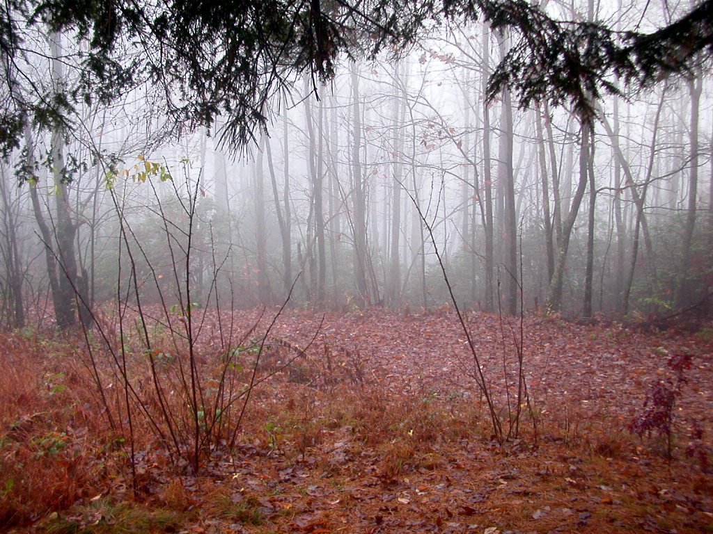
The Fall-colored Highpoint
[Summit team: Targo, Katrin, Toomas, Oliver]
We visited the Sassafras Mountain on November 6th, 2003. The road was
completely deserted for at least four miles but we found another highpointer
couple on the top! They were from California and immediately guessed that we
were also "one of these idiot highpointers" because who else would be in such a
place in rainy weather :-) The peak itself is covered with trees and the weather was
foggy, so the view wasn't that great.
Here are the instructions from Mount Michell, NC:
1) Go down on SR-128 4.2 miles
2) Turn right (west) onto Blue Ridge Parkway
3) You can enjoy that scenic drive for 32.9 miles, then turn onto US-25
(Hendersonville Road)
4) Go 4.4 miles and turn right onto New Airport Road that changes to Boyleston
Hwy after 3.4 miles
5) Stay on Boyleston Hwy (SR-280 South) for 9.9 miles
6) Road name changes to Asheville Hwy (SR-280), go 4.9 miles
7) Take US-64 West, go 11.8 miles
8) Turn left (east) onto US-178, go 9.9 miles
9) Turn left onto SR-S-39-199 [F Van Clayton Memorial Hwy]go 3.2 miles
10) Turn right onto Sassafras Mountain Rd, go about a mile and there you are!
Tagasi / Back